If you're looking for a greenway that combines stunning coastal views, smooth paved surfaces, and genuinely interesting stops along the way, the Great Western Greenway delivers. We've cycled this route more times than we can count, and every visit reveals something new — whether it's the light hitting Clew Bay at just the right angle or discovering a café you'd somehow missed before.
This guide breaks down everything you need to know about the 42 km route from Westport to Achill Head. We're talking real details: where the hills actually appear, which sections get crowded on weekends, the spots worth stopping at, and what to pack. Not the generic "it's beautiful" stuff — the practical intel that makes the difference between an okay ride and a genuinely great day out.
The Route Overview: What 42 km Actually Feels Like
Total Distance
42 km one way (84 km return). Most people do sections rather than the whole route in one go.
Elevation & Terrain
Mostly flat paved surface. Three noticeable climbs: one around 4 km, another near Mulranny, and a gentle slope into Achill. Nothing steep.
Time Required
2.5-3.5 hours for the full route depending on pace and stops. Most cyclists break it into two or three separate outings.
Best For
Intermediate cyclists, families with teenage kids, anyone wanting coastal views without technical difficulty. Beginners can do sections easily.
Breaking Down the Route: Section by Section
The route splits naturally into three distinct sections, each with its own character. You don't need to do them all at once — in fact, most people don't.
Section 1: Westport to Mulranny (14 km)
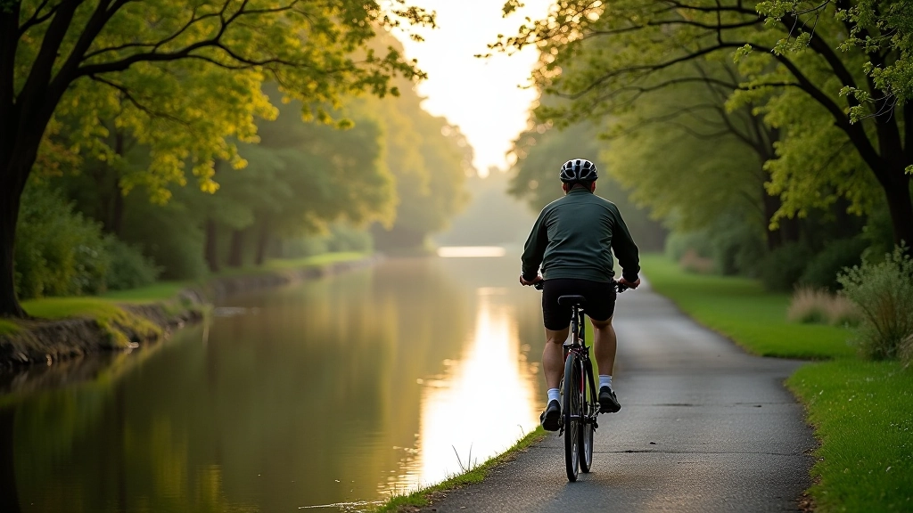
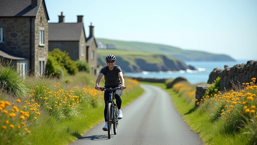
This is the busiest section, especially on weekends. You'll start at the Westport end — there's a large car park and proper facilities. The first 2 km are essentially suburban, moving through town edges. Don't write this off though. Once you're past the initial stretch, you get your first real view of Clew Bay, and that's when you remember why you came.
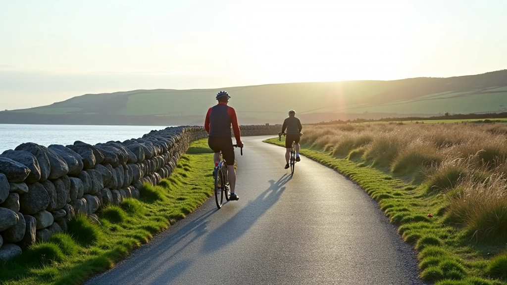
The ride's pretty gentle here. There's one climb around 4 km in (not steep, just noticeable), and you'll notice the wind can pick up along this section — Clew Bay's quite exposed. Mulranny's the natural stopping point. There's a proper village with shops, cafés, and a lovely hotel if you want somewhere nicer for lunch. Parking's available here if you want to do just this section as a separate outing.
- Starting point has toilets, café, bike hire available
- Most crowded on sunny weekends — go early or mid-week if possible
- Best light for photography: late afternoon when sun hits the bay
- Mobile signal is good throughout this section
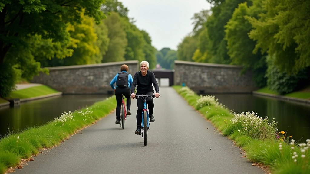
Section 2: Mulranny to Newport (15 km)
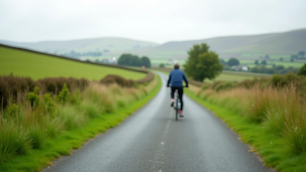
This is where it gets quieter and, honestly, more interesting. The crowds thin out noticeably after Mulranny. You're moving inland slightly, away from the bay, but the scenery changes in a good way — more greenery, woodland patches, and a real sense of moving through the landscape rather than just along it.
There's another gentle climb near Mulranny itself (you'll feel it if you're going slowly, but it's not a problem), then things flatten out. This section's brilliant for photography because you get better framing — the trees create natural frames for shots. Newport's at the end, and it's a small village with basic amenities. There's parking here and a couple of good stopping spots for refreshments.
We'd recommend stopping in Newport rather than rushing through. The village has genuine character, and you're exactly halfway through the route if you're planning a full day.
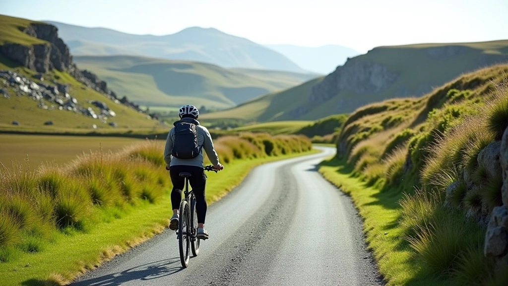
Section 3: Newport to Achill Head (13 km)
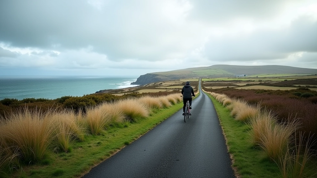
The final stretch is where you get rewarded. It's quieter, the landscape opens up, and you're heading toward the coast again. The views change as you approach Achill — you start seeing more water, and the sense of reaching somewhere real kicks in.
There's a steady gentle slope into Achill (nothing steep), and the last couple of kilometres take you through Achill village itself. It's worth continuing to the actual end point near Achill Head if you've got time. The views back toward Clare Island and the wider coastline are genuinely spectacular. Parking and facilities are available in Achill village proper.
Practical Details That Actually Matter
What to Bring
- Water: 1.5-2 litres minimum. There aren't water refill points along the route — bring enough or fill up in villages.
- Sun protection: Even on cloudy days, the bay reflects light. Sunscreen and sunglasses aren't optional here.
- Wind layer: Weather can change quickly, especially near the coast. A thin windproof is useful even in summer.
- Snacks: Energy bars or fruit. Mulranny and Newport have shops, but don't rely on them being open.
- Repair kit: Pump, spare tube, basic tools. The route's mostly remote — you're not near help everywhere.
Timing & Best Conditions
- Season: May through September is ideal. Winter's manageable but often windy.
- Weekday vs. weekend: Tuesday-Thursday mornings are quiet. Weekends get busy, especially Westport-Mulranny section.
- Time of day: Early start (8-9 am) means better light and fewer people. Afternoon can get crowded and windy.
- Weather: Avoid strong westerlies — they can make the return journey tough. Check forecasts beforehand.
- Bike type: Road or hybrid bikes work well. Mountain bikes are heavier than needed. Fixed gear? You'll regret the climbs.
"The first time I did the full route, I thought I'd underestimated the distance. But honestly? Once you hit Newport and you're past the halfway point, the second half flies. You're tired but you can see the end, and the scenery just keeps getting better."
Is It Worth Doing?
Yeah, it really is. We've talked to hundreds of people who've done this route, and you don't hear complaints. What you hear is people planning when they'll do it again.
It's not technically demanding, so it's accessible to most people. It's long enough to feel like a proper ride, but not so brutal that you're destroyed at the end. The views are consistently good without being over-hyped. And crucially, it feels like you're actually going somewhere — the endpoint at Achill isn't just an arbitrary turnaround point, it's a real destination with genuine character.
Do it on a good day. Bring proper supplies. Take your time at the stops. You'll understand why locals have been cycling this route for years, and why it keeps drawing people back.